Using non-basemap Vector Tiles
Recently I started having some fun with ArcGIS Pro. I used ArcView 3.x and ArcINFO back in the day and ArcMap for years to make maps, but my time with ArcGIS Pro was really limited.
Yes, I do more web development than anything else, but at the end of the day, I’m still a spatial developer and I think that means even if I am mainly a web developer, I should still keep up to speed with using desktop tools. I want to keep those desktop skills finely tuned.
So I decided to mess around with Vector Tiles a bit.
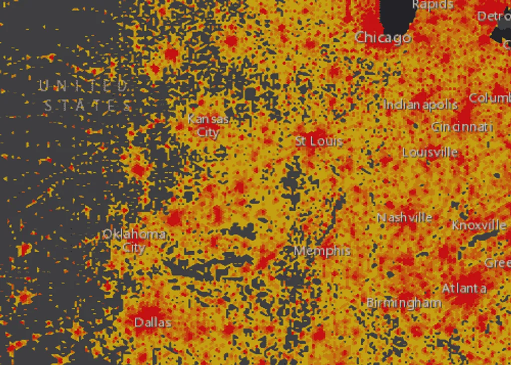
I found this easy to follow guide on creating hexbins in ArcGIS Pro. Now, I’m not a fan of hexbins really, but they do make for some nice aggregation and visuals, and I wanted to see what kind of trouble I could get into.
It took a little trial and error, but eventually I got some hexbin data that I was happy with and then I did a spatial join and summed up the data per bin based on US Census Block populations.
Then for the heck of it, I created a Vector Tile Package that I uploaded to ArcGIS Online to create a Vector Tile service. I really just wanted to try out creating some background data that wasn’t necessarily a basemap that I could use Vector Tiles for.
I show how to upload your Vector Tile package in the following short video.
Be sure to check out my Introduction to ArcGIS API for JavaScript 4 ebook early access on sale now!
You can also like my page on Facebook, follow me on Twitter or add me on SnapChat, username @odoenet.