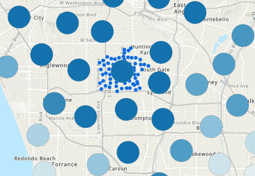
Interactive Clusters with ArcGIS API for JavaScript
The latest release of ArcGIS Online has released support for clusters of Feature Services in your maps.
Currently, this is only supported in 3.x, but 4.x support should be coming soon.
You can read couple of blogs posts about it here and here.
There are some samples in the API here.
Clustering makes for some interesting visualizations to simplify your data, but it can also open up the door for you to make your applications a bit more interactive.
In this video, I discuss some of the methods you can use in your applications to make your clusters pop a bit more!
Enjoy!
Here is the code sample used in the video!